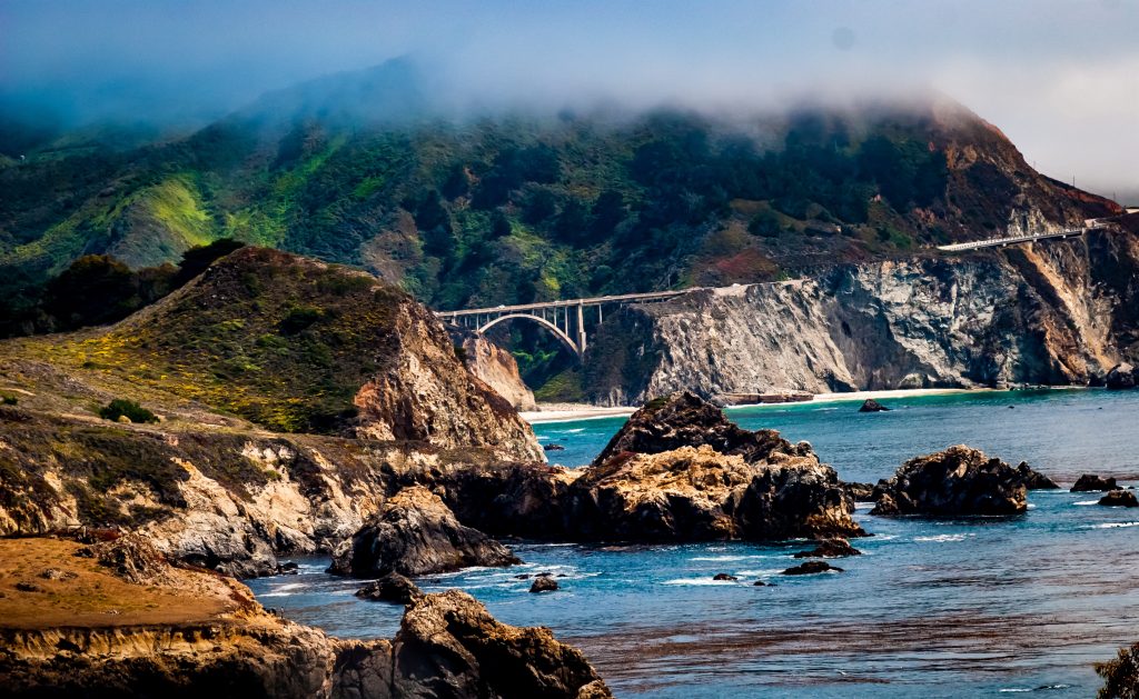
Big Sur planning starts with current access information. Treat a scenic itinerary as a list of possibilities, then confirm the road, park, and visitor facilities you need before leaving.
Check roads before choosing the route
Use Caltrans road information to review your intended journey. Check again close to departure, especially after changing weather or a reported closure. Do not assume a through-route is available because an older travel article describes it.
Check each park separately
Big Sur is not a single park with one set of operating rules. California State Parks’ Big Sur Station page identifies state-park visitor resources and directs travelers to current road information. Review the individual park’s notices for access, facilities, and restrictions before making plans.
Plan stops with access in mind
Use designated parking and public access points. Do not treat a roadside view as permission to enter adjacent land. Confirm reservations, opening hours, and available services directly with the operator, and keep a flexible alternative if your intended stop is unavailable.
Leave room for the local community
Allow time for a small number of confirmed stops rather than building a packed checklist. Respect posted instructions and avoid blocking access for residents or emergency vehicles. If you contribute a Big Sur story, include the date of your visit and distinguish what you observed from information that may have changed.
Continue exploring
Have a correction or a specific local detail to add? Contact California Locals.


