Boronda
A local perspective.
Discover the places, stories, and people connected to Boronda.
Get to know Boronda.
Boronda is a census-designated place, Monterey County, California.
Boronda in context
Boronda is a census-designated place in Monterey County, California.
The 2020 Census recorded 1,760 residents and 481 housing units for its 2020 geography. The figures below also identify the date and source for each statistic.
The Census geography used here lists a land area of 1.5 square kilometres. A place name, its postal addresses and its official statistical boundary can describe different areas, so use the linked map sources for boundary questions.
Other mapped places to explore include Salinas, Spreckels and Marina. The locator section lists straight-line distances between geographic reference points, rather than road or walking distances.
Community details
- USGS topographic map
- Salinas Source ↗
- USGS geographic name ID
- 1853377 Source ↗
- Population
- 1,760 (2020 Census geography) Source ↗
- Housing units
- 481 (2020 Census geography) Source ↗
- Median owner-occupied home value (survey estimate)
- $578,000 ± $104,729 (2020–2024 ACS 5-year) Source ↗
- Median monthly gross rent (survey estimate)
- $2,112 ± $323 (2020–2024 ACS 5-year) Source ↗
- Households (survey estimate)
- 421 ± 168 (2020–2024 ACS 5-year) Source ↗
- Owner-occupied households (survey estimate)
- 171 ± 94 (2020–2024 ACS 5-year) Source ↗
- Renter-occupied households (survey estimate)
- 250 ± 143 (2020–2024 ACS 5-year) Source ↗
- Land area (2020 Census)
- 1.486 km² (0.574 sq mi) (2020 Census geography) Source ↗
- Water area (2020 Census)
- 0.000 km² (0.000 sq mi) (2020 Census geography) Source ↗
- Population per land area (2020 Census)
- 1,184.1 people/km² (3,066.9 people/sq mi) (2020 Census geography) Source ↗
American Community Survey estimates cover 2020–2024 and show the 90% margin of error when available. Gross rent includes rent and applicable tenant-paid utilities. Census and survey figures describe the geography used for that release; housing estimates are historical survey figures rather than current asking prices.
Area figures use the 2020 Census boundary. Population density is calculated from the 2020 Census population divided by its land area, excluding water.
Locate Boronda
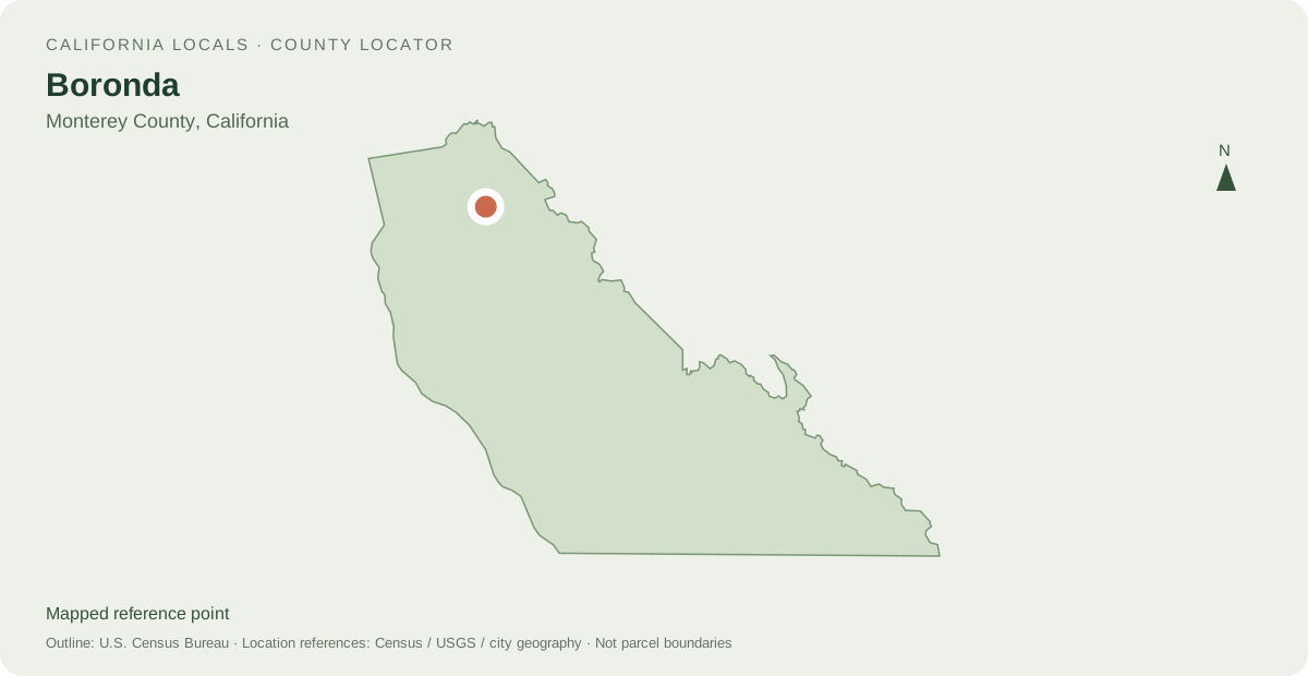
Other mapped places to explore
- Salinas 3.7 km between map reference points
- Spreckels 8.2 km between map reference points
- Marina 10.4 km between map reference points
Distances are straight-line measurements between mapped reference points, rather than walking or driving distances.
Local information and resources
Powered by LocalRealtors.com
Homes for sale in Boronda
Listings with mapped coordinates inside the published U.S. Census Bureau place boundary. Listing address-city names can differ from this mapped area.
Scroll within the listings to see more homes and source details. Property links open on LocalRealtors.
From local creators
Share a local perspective on Boronda. Approved creator posts appear here when they are tagged for this community.
Location sources
Neighborhood names and boundaries can overlap and vary by source.