
Lawrence Welk Resort Village ↗
Hidden Meadows, San Diego County
Discover the places, stories, and people connected to Hidden Meadows.
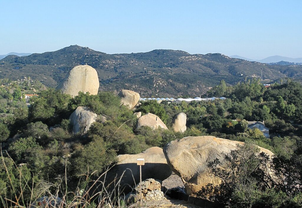
Hidden Meadows is a census-designated place, San Diego County, California.
Hidden Meadows has its own chapter in the County’s North County Metropolitan Subregional Plan. The village boundary is one planning tool within that larger region. The plan distinguishes this boundary from a general invitation to increase development density. Reading the local chapter alongside the land-use map helps explain how a recognizable community can sit within a much broader planning area.
The County’s Hidden Meadows trails plan describes a residential area connected largely by roads and identifies a need for walking routes. Its proposals include pathways beside Mountain Meadows Road and Hidden Meadows Road, as well as connections toward Jesmond Dene and Daley Ranch. These proposed links show how everyday movement between homes and neighboring areas became a community planning concern.
The subregional plan identifies nearby resource-conservation areas including the Merriam Mountains and Moosa Canyon. Oak and riparian woodland, chaparral and scenic landforms are part of that broader planning context. Those descriptions help connect the community with the landscape around it, while remaining distinct from a claim that every conservation area is a public park.
The community trails document labels its mapped routes as proposed and explains that general alignments can change during detailed review. It is useful evidence of residents’ priorities, rather than a current inventory of open trails. Before choosing a walk, confirm the specific route’s present access and conditions; a line on a planning map does not establish a public right to cross private land.
Editorial review: 2026-11-08
American Community Survey estimates cover 2020–2024 and show the 90% margin of error when available. Gross rent includes rent and applicable tenant-paid utilities. Census and survey figures describe the geography used for that release; housing estimates are historical survey figures rather than current asking prices.
Area figures use the 2020 Census boundary. Population density is calculated from the 2020 Census population divided by its land area, excluding water.
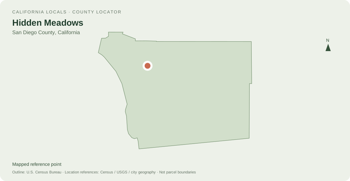
Distances are straight-line measurements between mapped reference points, rather than walking or driving distances.
Powered by LocalRealtors.com
Listings with mapped coordinates inside the published U.S. Census Bureau place boundary. Listing address-city names can differ from this mapped area.
Scroll within the listings to see more homes and source details. Property links open on LocalRealtors.
1 named areas connected to Hidden Meadows.
Hidden Meadows, San Diego County
Share a local perspective on Hidden Meadows. Approved creator posts appear here when they are tagged for this community.
Neighborhood names and boundaries can overlap and vary by source.
Send us a message and we'll get back to you within one business day.