Bonsall
A local perspective.
Discover the places, stories, and people connected to Bonsall.
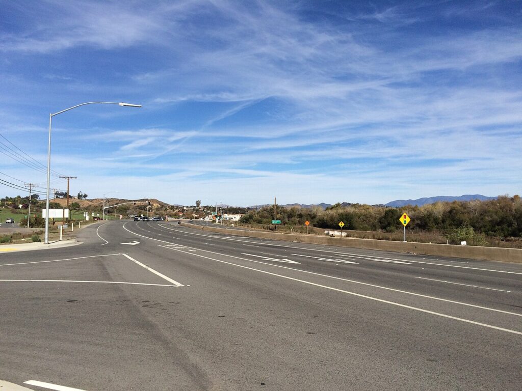

Get to know Bonsall.
Bonsall is a census-designated place, San Diego County, California.
Bonsall: hills, agricultural land and a river-park landscape
Read the foothills at a community scale
The County’s Bonsall overview places the community in northern San Diego County’s unincorporated foothills, with Fallbrook to the north and Oceanside to the west. Hills, valleys and drainage corridors shape the landscape. The larger community-plan area offers regional context rather than a boundary for every local address or neighborhood.
Local land uses reflect the terrain
The same County community account describes agricultural land, low-density residential development and equestrian facilities. It locates commercial activity around Mission Road, Olive Hill Road and State Route 76. These references connect the area’s rural landscape with the road corridors used for everyday destinations.
The river park is a long-term network
County Parks’ San Luis Rey River Park page describes a vision linking trails, staging areas and parks between Interstate 15 and the Old Bonsall Bridge. It records a master plan approved in 2007 and adopted in 2008. The project brings open-space conservation and recreation planning into the same river corridor.
Follow the specific park or trail project
The official project overview distinguishes existing acquisitions and trail connections from future projects, including recreation and equestrian staging areas. Use the linked project information for the particular destination you want. The full long-term network should not be treated as one completed, continuously accessible trail.
Editorial review: 2026-11-09
Community details
- USGS topographic map
- Bonsall Source ↗
- USGS geographic name ID
- 1660358 Source ↗
- Population
- 4,546 (2020 Census geography) Source ↗
- Housing units
- 1,789 (2020 Census geography) Source ↗
- Median owner-occupied home value (survey estimate)
- $958,700 ± $78,727 (2020–2024 ACS 5-year) Source ↗
- Median monthly gross rent (survey estimate)
- $2,336 ± $398 (2020–2024 ACS 5-year) Source ↗
- Households (survey estimate)
- 1,638 ± 184 (2020–2024 ACS 5-year) Source ↗
- Owner-occupied households (survey estimate)
- 1,127 ± 172 (2020–2024 ACS 5-year) Source ↗
- Renter-occupied households (survey estimate)
- 511 ± 149 (2020–2024 ACS 5-year) Source ↗
- Land area (2020 Census)
- 35.286 km² (13.624 sq mi) (2020 Census geography) Source ↗
- Water area (2020 Census)
- 0.452 km² (0.174 sq mi) (2020 Census geography) Source ↗
- Population per land area (2020 Census)
- 128.8 people/km² (333.7 people/sq mi) (2020 Census geography) Source ↗
American Community Survey estimates cover 2020–2024 and show the 90% margin of error when available. Gross rent includes rent and applicable tenant-paid utilities. Census and survey figures describe the geography used for that release; housing estimates are historical survey figures rather than current asking prices.
Area figures use the 2020 Census boundary. Population density is calculated from the 2020 Census population divided by its land area, excluding water.
Locate Bonsall
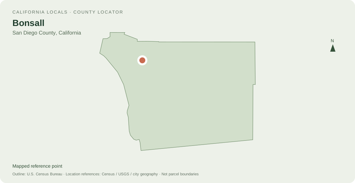
Other mapped places to explore
- Hidden Meadows 8.8 km between map reference points
- Vista 10.4 km between map reference points
- Fallbrook 11.4 km between map reference points
Distances are straight-line measurements between mapped reference points, rather than walking or driving distances.
Local information and resources
Guide sources
Powered by LocalRealtors.com
Homes for sale in Bonsall
Listings with mapped coordinates inside the published U.S. Census Bureau place boundary. Listing address-city names can differ from this mapped area.
Scroll within the listings to see more homes and source details. Property links open on LocalRealtors.
Community guides
From local creators
Share a local perspective on Bonsall. Approved creator posts appear here when they are tagged for this community.
Location sources
Neighborhood names and boundaries can overlap and vary by source.