Pala
A local perspective.
Discover the places, stories, and people connected to Pala.

Get to know Pala.
Pala is a census-designated place, San Diego County, California.
Pala: river landscape, living culture and a historic bell tower
Begin with the community’s own account
The Pala Band’s resident resource describes a reservation crossed by the San Luis Rey River and identifies the community’s Cupeño and Luiseño heritage. Forests, wetlands and waterways form part of that wider reservation landscape. The reservation and the Census place used for this page’s statistics serve different geographic purposes.
Cupa’s history is central to understanding Pala
The Cupa Cultural Center’s historical account explains the Cupeño people’s forced removal from their ancestral home to the Luiseño village of Pala in May 1903. It also describes continuing cultural work through classes, research and community events. This perspective places the history of displacement alongside the community’s ongoing cultural life.
A center preserves and shares local heritage
The center’s culture resource dates its founding to 1974 through the efforts of Pala community members. An expansion in 2005 added working and meeting space, while the original exhibition hall retained displays of photographs, artifacts, arts and local history. Consult the center directly for current visitor arrangements and programming.
A landmark records another layer of the local landscape
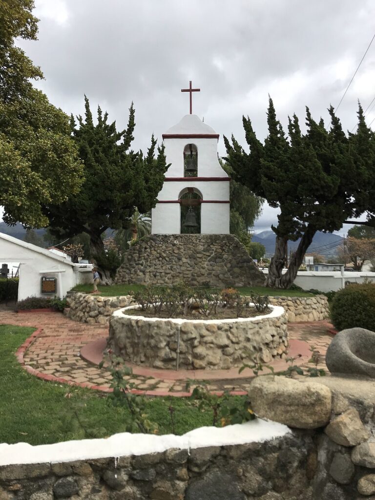
California’s historical-landmark record identifies the Asistencia San Antonio de Pala and its distinctive bell tower. It dates the chapel to 1816, notes later restoration after earthquake and storm damage, and places the mission on Pala Mission Road. The designation provides historical context; it does not establish present visiting hours or permission to enter every part of the property.
Editorial review: 2026-11-09
Community details
- USGS topographic map
- Pala Source ↗
- USGS geographic name ID
- 1661174 Source ↗
- Population
- 1,490 (2020 Census geography) Source ↗
- Housing units
- 458 (2020 Census geography) Source ↗
- Median owner-occupied home value (survey estimate)
- $305,600 ± $130,376 (2020–2024 ACS 5-year) Source ↗
- Median monthly gross rent (survey estimate)
- $1,263 ± $280 (2020–2024 ACS 5-year) Source ↗
- Households (survey estimate)
- 254 ± 71 (2020–2024 ACS 5-year) Source ↗
- Owner-occupied households (survey estimate)
- 158 ± 47 (2020–2024 ACS 5-year) Source ↗
- Renter-occupied households (survey estimate)
- 96 ± 38 (2020–2024 ACS 5-year) Source ↗
- Land area (2020 Census)
- 14.449 km² (5.579 sq mi) (2020 Census geography) Source ↗
- Water area (2020 Census)
- 0.000 km² (0.000 sq mi) (2020 Census geography) Source ↗
- Population per land area (2020 Census)
- 103.1 people/km² (267.1 people/sq mi) (2020 Census geography) Source ↗
American Community Survey estimates cover 2020–2024 and show the 90% margin of error when available. Gross rent includes rent and applicable tenant-paid utilities. Census and survey figures describe the geography used for that release; housing estimates are historical survey figures rather than current asking prices.
Area figures use the 2020 Census boundary. Population density is calculated from the 2020 Census population divided by its land area, excluding water.
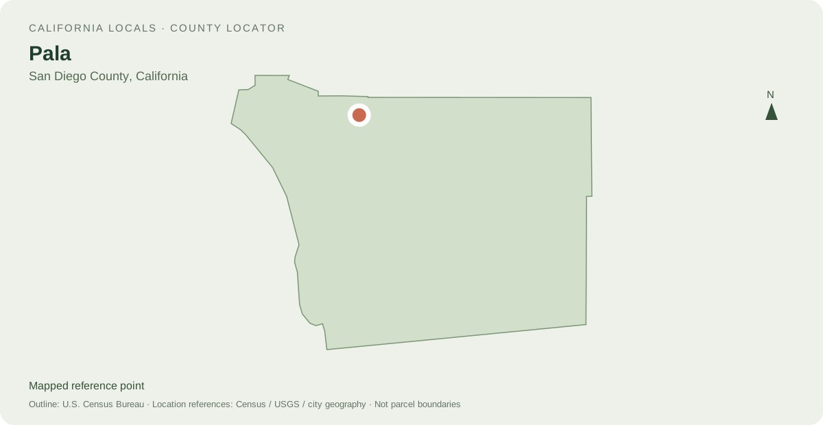
Locate Pala
Other mapped places to explore
- Rainbow 8.4 km between map reference points
- Fallbrook 14.0 km between map reference points
- Bonsall 15.2 km between map reference points
Distances are straight-line measurements between mapped reference points, rather than walking or driving distances.
Local information and resources
Guide sources
Powered by LocalRealtors.com
Homes for sale in Pala
Listings with mapped coordinates inside the published U.S. Census Bureau place boundary. Listing address-city names can differ from this mapped area.
Scroll within the listings to see more homes and source details. Property links open on LocalRealtors.
Community guides
From local creators
Share a local perspective on Pala. Approved creator posts appear here when they are tagged for this community.
Location sources
Neighborhood names and boundaries can overlap and vary by source.