Otay Mesa
A local perspective.
Discover the places, stories, and people connected to Otay Mesa.
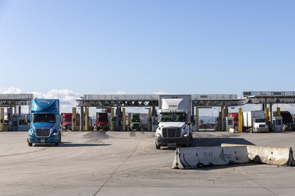

Get to know Otay Mesa.
Otay Mesa is a neighborhood in the San Diego area, San Diego County, California.
Otay Mesa: employment areas, mesas and a changing residential landscape
Locate the planning area before exploring
The City’s Otay Mesa overview places this community east of Interstate 805, between the Otay River Valley and the international border. Chula Vista lies to the north, while county land borders the east. These references help distinguish San Diego’s Otay Mesa planning area from neighboring communities with similar Otay names.
Employment and housing share a planning framework
The City community page records adoption of the plan in March 2014 and describes a vision for an employment center with two residential village areas. Canyons, mesas and proposed public trails are part of that vision. Planned connections are best understood through the adopted documents and specific project information.
Follow neighborhood change through planning records
The Otay Mesa planning-group page collects agendas, minutes and an annual-report archive. These records offer a public route into discussions about development and community facilities. They can be especially useful when a broad community overview leaves questions about a particular site or proposal.
Check the relevant agenda before attending
The same official meeting resource includes notices of special meetings and cancellations alongside regular meeting information. Consult the latest applicable agenda for its time, location or online access. An election venue or an older recurring schedule should not be used as confirmation of the next meeting.
Editorial review: 2026-11-09
Community details
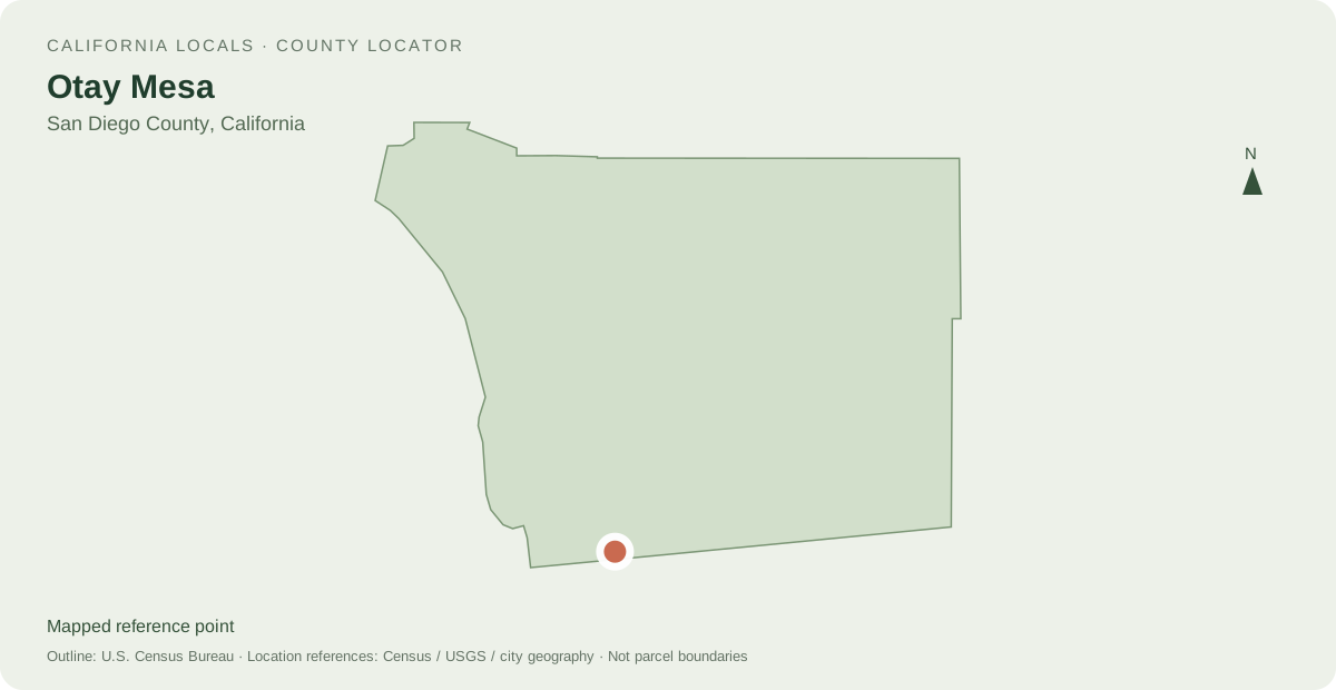
Locate Otay Mesa
Other mapped places to explore
- Ocean Crest 3.7 km between map reference points
- Border 4.9 km between map reference points
- San Ysidro 6.2 km between map reference points
Distances are straight-line measurements between mapped reference points, rather than walking or driving distances.
Local information and resources
Guide sources
Powered by LocalRealtors.com
Homes for sale in Otay Mesa
Listings with mapped coordinates inside the published neighborhood geography. This reference boundary is not a parcel or legal boundary.
Scroll within the listings to see more homes and source details. Property links open on LocalRealtors.
Community guides
From local creators
Share a local perspective on Otay Mesa. Approved creator posts appear here when they are tagged for this community.
Location sources
Neighborhood names and boundaries can overlap and vary by source.