Fort Rosecrans
A local perspective.
Discover the places, stories, and people connected to Fort Rosecrans.
Get to know Fort Rosecrans.
Fort Rosecrans is a neighborhood within San Diego, San Diego County, California.
Fort Rosecrans in context
Fort Rosecrans is a named neighborhood connected to San Diego in this directory, San Diego County, California.
The USGS place-name record associates Fort Rosecrans with the Point Loma topographic map. The linked geographic record and locator provide a starting point for identifying the place on a map; a reference point does not define the full community boundary.
Other mapped places to explore include Wooded Area, La Playa and Sunset Cliffs. The locator section lists straight-line distances between geographic reference points, rather than road or walking distances.
Community details
Locate Fort Rosecrans
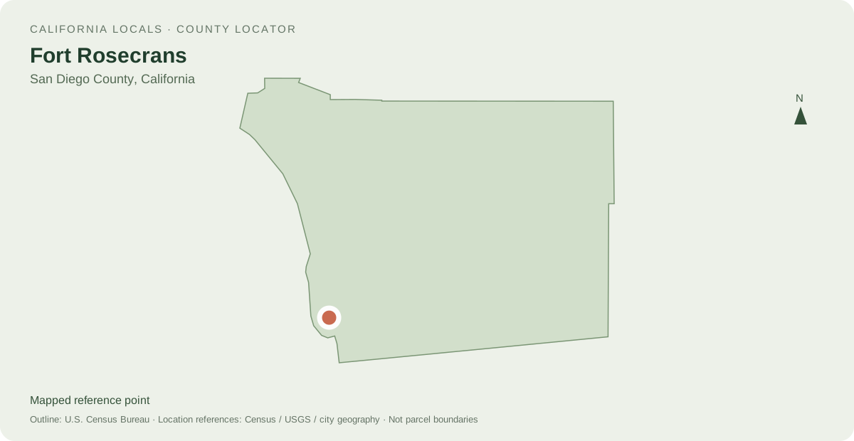
Other mapped places to explore
- Wooded Area 1.2 km between map reference points
- La Playa 3.5 km between map reference points
- Sunset Cliffs 4.8 km between map reference points
Distances are straight-line measurements between mapped reference points, rather than walking or driving distances.
Local information and resources
From local creators
Share a local perspective on Fort Rosecrans. Approved creator posts appear here when they are tagged for this community.
Location sources
Neighborhood names and boundaries can overlap and vary by source.