Pacific Grove Acres ↗
Pacific Grove, Monterey County
Discover the places, stories, and people connected to Pacific Grove.
Pacific Grove is a city, Monterey County, California.
Pacific Grove brings two different habitat stories close to its streets: the marine landscape around Lovers Point and the seasonal monarch habitat inland. Lovers Point Park sits at Ocean View Boulevard and 17th Street. The City’s park inventory describes lawns, beaches and rocky outcrops, providing a useful starting point for distinguishing the park from the protected marine waters beside it. City park inventory and Lovers Point location
The California Department of Fish and Wildlife identifies the Lovers Point–Julia Platt State Marine Reserve as a mix of rocky shoreline, sandy areas, reefs, surfgrass and kelp habitat. Its name recognizes marine biologist Julia Platt, who became Pacific Grove’s mayor in the 1930s and worked to protect its coastline. The department’s page explains the protected areas and their individual boundaries; an attractive shoreline is also a managed marine habitat. Marine habitats and the Julia Platt connection
The Pacific Grove Museum of Natural History explains that monarchs are migratory rather than year-round residents. Its November 6, 2026 update reports low numbers in Pacific Grove and no large clusters at the sanctuary. That dated account matters when interpreting older photographs of heavily covered branches: a historical image is not a forecast of what a visitor will see now. Current sanctuary conditions and monarch information
A visit to Lovers Point and a visit to the sanctuary provide different experiences. Use the marine agency’s current guidance for the shore and the museum’s updates for seasonal butterfly conditions. Neither a wildlife sighting nor a particular number of butterflies can be promised in advance.
Editorial review: 2026-11-07
American Community Survey estimates cover 2020–2024 and show the 90% margin of error when available. Gross rent includes rent and applicable tenant-paid utilities. Census and survey figures describe the geography used for that release; housing estimates are historical survey figures rather than current asking prices.
Area figures use the 2020 Census boundary. Population density is calculated from the 2020 Census population divided by its land area, excluding water.
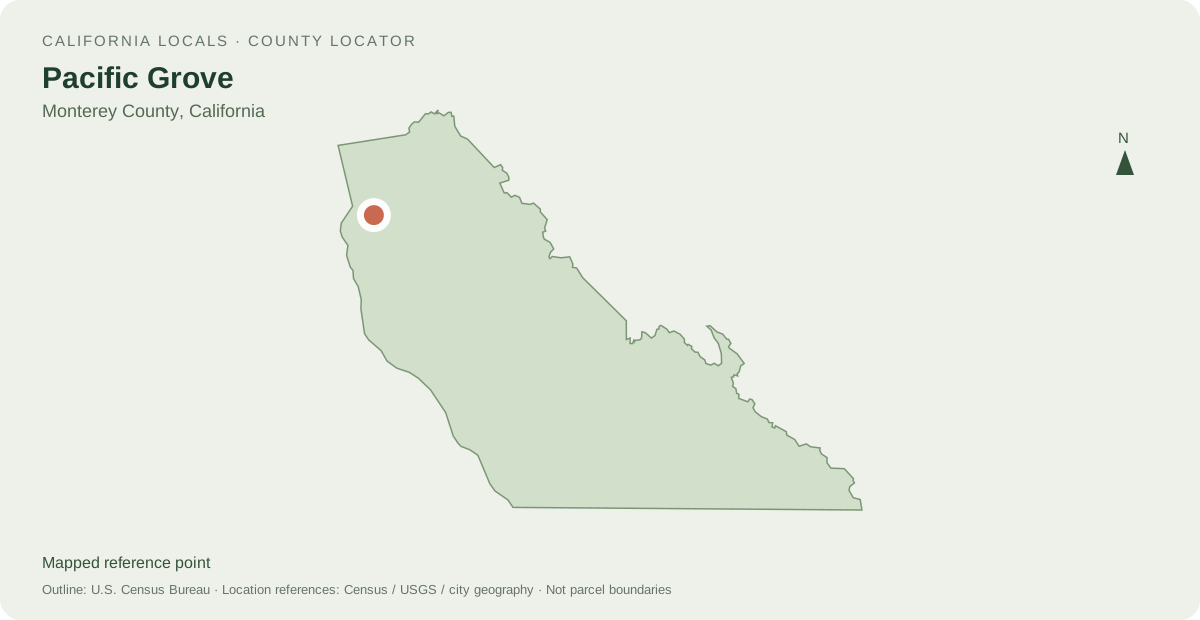
Distances are straight-line measurements between mapped reference points, rather than walking or driving distances.
Powered by LocalRealtors.com
These listings use the Pacific Grove, California city filter. The listing address city is not a municipal-boundary polygon.
Scroll within the listings to see more homes and source details. Property links open on LocalRealtors.
1 named areas connected to Pacific Grove.
Pacific Grove, Monterey County
Share a local perspective on Pacific Grove. Approved creator posts appear here when they are tagged for this community.
Neighborhood names and boundaries can overlap and vary by source.
Send us a message and we'll get back to you within one business day.