Carmel
A local perspective.
Discover the places, stories, and people connected to Carmel.
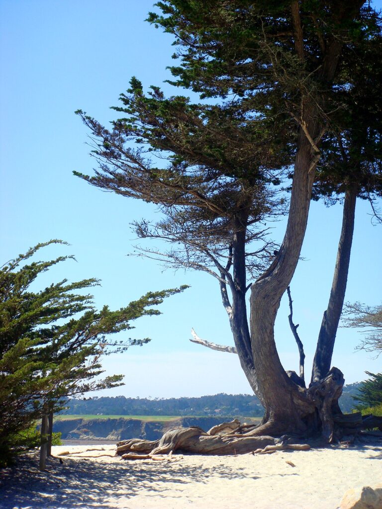

Get to know Carmel.
Carmel is a city, Monterey County, California.
Carmel, between the bluff-top path and the wooded village
Carmel-by-the-Sea offers several different kinds of public landscape within a compact coastal setting. The sandy beach is one; the path above it is another. The City’s coastal-access account describes Scenic Road and the Beach Bluff Pathway as a complementary experience to the sand, with Monterey cypress, overlooks and access stairways giving the bluff its own sequence of places. City coastal-access and shoreline context
Follow the landscape above the beach
The bluff-top pathway runs beside Scenic Road, with benches and overlooks along the way. The City’s account identifies views north toward Pebble Beach and south toward Point Lobos. Choosing the upper path gives a different perspective from walking along the beach itself. Its surface and access routes are distinct from a paved urban sidewalk, so consult current City access information when choosing a particular starting point. Beach Bluff Pathway and coastal access
Find the smaller parks within the village
Picadilly Park is set within a block on Dolores Street between Ocean and Seventh avenues, with benches and a fountain. Elsewhere, Forest Theater Park surrounds the historic outdoor theater at Mountain View Avenue and Santa Rita Street. These are different public settings from the oceanfront and give a walk through the village more specific destinations. City parks and their locations
A separate trail landscape inland
Mission Trail Nature Preserve provides another alternative, with approximately five miles of trails and access from Hatton Road, Rio Road and Mountain View Avenue. The City identifies riparian habitat, native plants and birds, while noting that Flanders Mansion is closed to the public. A visit to the preserve is a trail outing; it should not be planned around entering the mansion. Mission Trail Nature Preserve information
Editorial review: 2026-11-07
Community details
- USGS topographic map
- Monterey Source ↗
- USGS geographic name ID
- 1658224 Source ↗
- Population
- 3,220 (2020 Census geography) Source ↗
- Housing units
- 3,056 (2020 Census geography) Source ↗
- Median monthly gross rent (survey estimate)
- $2,707 ± $489 (2020–2024 ACS 5-year) Source ↗
- Households (survey estimate)
- 1,619 ± 267 (2020–2024 ACS 5-year) Source ↗
- Owner-occupied households (survey estimate)
- 973 ± 212 (2020–2024 ACS 5-year) Source ↗
- Renter-occupied households (survey estimate)
- 646 ± 236 (2020–2024 ACS 5-year) Source ↗
- Land area (2020 Census)
- 2.749 km² (1.061 sq mi) (2020 Census geography) Source ↗
- Water area (2020 Census)
- 0.000 km² (0.000 sq mi) (2020 Census geography) Source ↗
- Population per land area (2020 Census)
- 1,171.5 people/km² (3,034.1 people/sq mi) (2020 Census geography) Source ↗
American Community Survey estimates cover 2020–2024 and show the 90% margin of error when available. Gross rent includes rent and applicable tenant-paid utilities. Census and survey figures describe the geography used for that release; housing estimates are historical survey figures rather than current asking prices.
Area figures use the 2020 Census boundary. Population density is calculated from the 2020 Census population divided by its land area, excluding water.
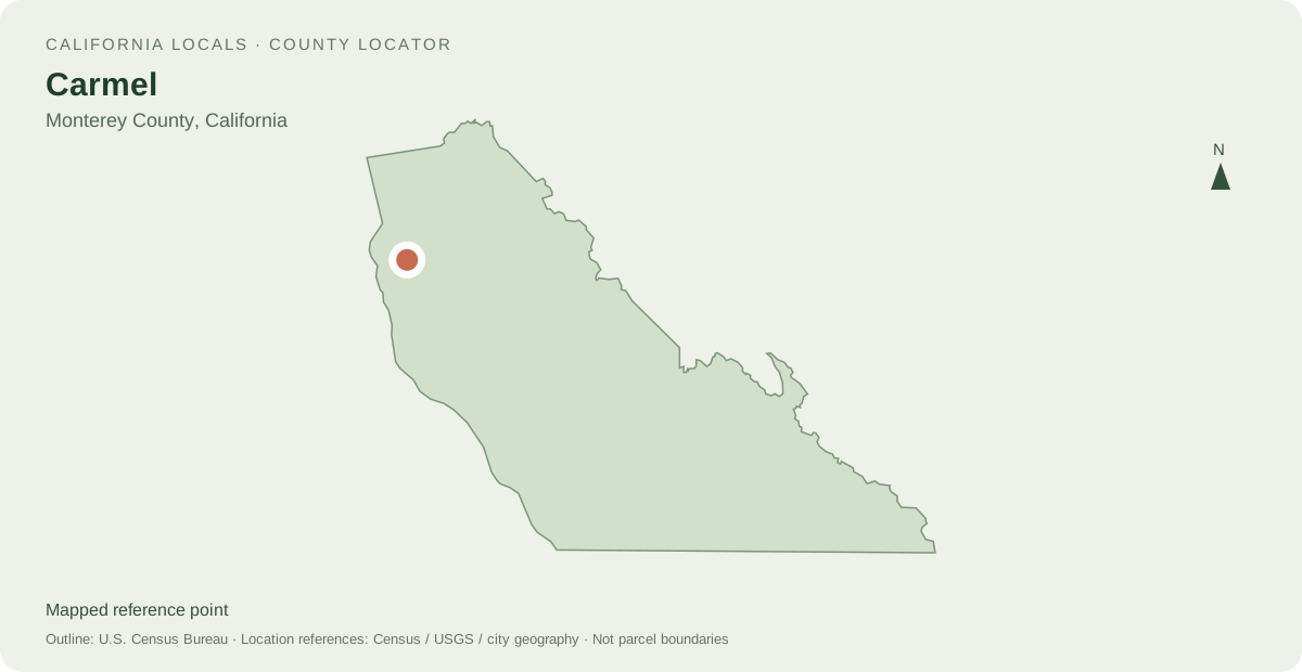
Locate Carmel
Other mapped places to explore
- Del Monte Forest 3.6 km between map reference points
- Monterey 6.4 km between map reference points
- Pacific Grove 7.8 km between map reference points
Distances are straight-line measurements between mapped reference points, rather than walking or driving distances.
Local information and resources
Guide sources
Powered by LocalRealtors.com
Homes for sale in Carmel
These listings use the Carmel, California city filter. The listing address city is not a municipal-boundary polygon.
Scroll within the listings to see more homes and source details. Property links open on LocalRealtors.
Community guides
From local creators
Share a local perspective on Carmel. Approved creator posts appear here when they are tagged for this community.
Location sources
Neighborhood names and boundaries can overlap and vary by source.